A trend has emerged lately, to construct a high route through a given range, the idea being to create a rugged backpacking path which is non or minimally technical, and maximizes scenic value. No route will ever be definitive, but a high route should be as close to a one-stop-shop for an experienced visiting hiker as is practical.
Roper’s effort in the Sierra got things started, and recently at least two proposals for the Wind Rivers have emerged. The following is my proposal for Glacier National Park. A detailed map can be examined here.
I’m not going to present exhaustive information, as such effort quite simply take the fun out of life. I did try to draw that Hillmap line as well as I could in the places (i.e. off trail) where it will matter. The following are a few routes-specific details for consideration.
-I have not done the east ridge up to Grizzly Mountain, but on the map and from the saddle by Bearhead it doesn’t look too bad.
-The chimney between Red Eagle Meadows and Almost-a-dog Pass is an unavoidable technical crux, and may have aspirants carrying an axe and crampons well into August on some years. There is no alternative, and when properly prepared it isn’t a big deal.
-The diversion east to Florance Falls is inelegant and introduces the only real bushwacking on the route. The south ridge of Gunsight Mountain may well go at a reasonable standard, in which case it would be the preferred route. A diversion over the Sperry Chalet, Comeau Pass, and the Floral Park route is also an option, but longer.
-There are a large number of potential diversions from the Highline Trail, but none of them are more elegant than the trail itself.
-There are a number of potential variations in the route between West Flattop and the Guardhouse traverse.
-I have not done the final stretch from Hole-in-the-Wall around Custer to the border.
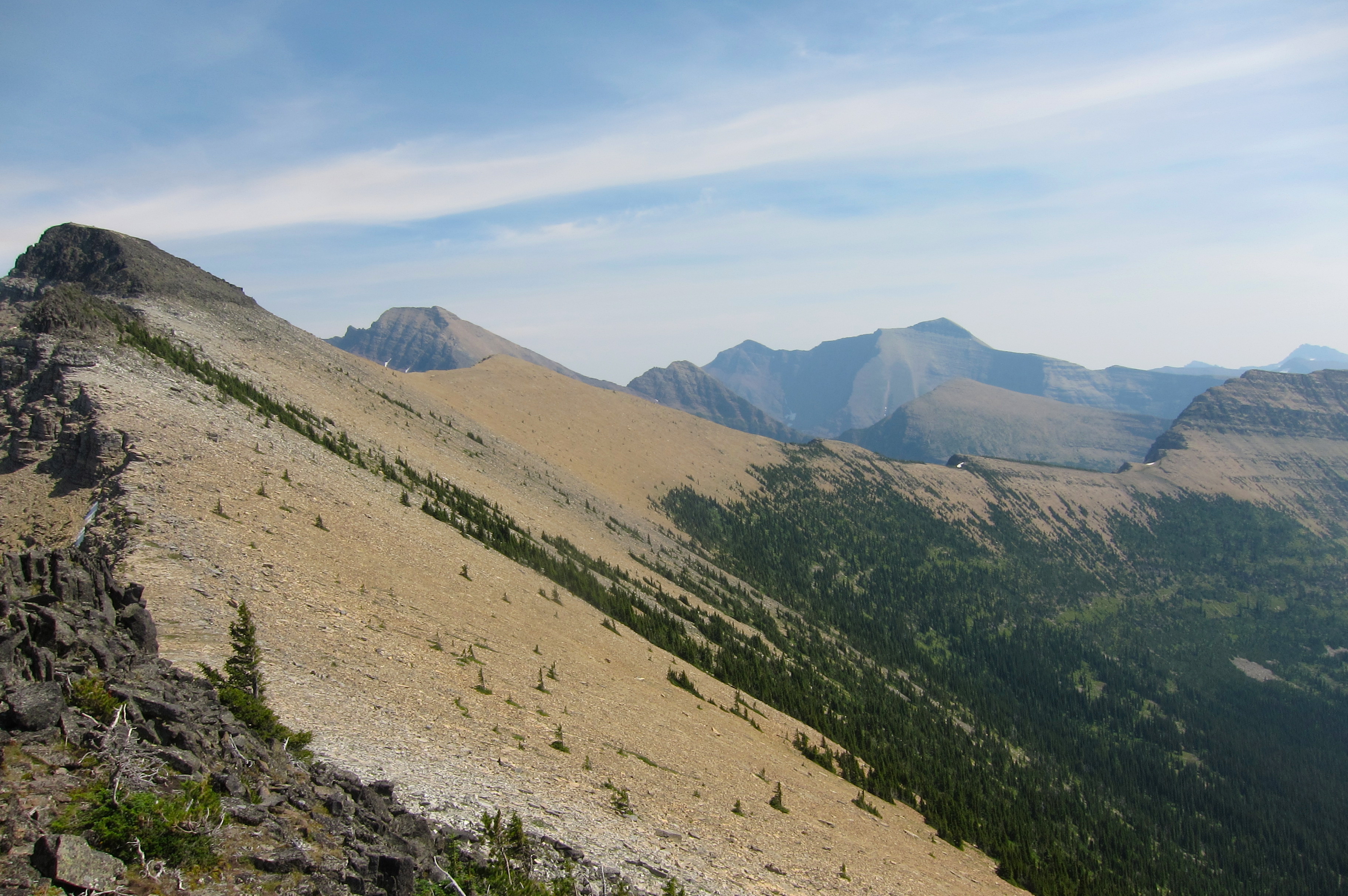
-Generally speaking, aside from the Almost-a-dog chimney and sections of the Guardhouse traverse, and perhaps the ridges detailed above, nothing on this route requires spikes on a normal August 1st, and nothing is harder than class 3 (if the correct route is taken).
Some broader, logistical details.
-GNP does issue undesignated backcountry permits for trips such as these. Expect to be asked to carry a bear can, and to be viewed with some skepticism and be questioned accordingly. If you can present well, you will get permits to camp up high in the good stuff.
-The obvious best way to handle the northern end of this is to drop down to Cameron Lake and bushwack around the lake to the road, but this requires an illegal entry into Canada. Backtracking and hiking out either Boulder Pass or back to Bowman Lake is probably preferred. Bushwacking directly down to Upper Kintla is a very, very bad idea.
-No point in Glacier is come summer very far from a road, and thus doing chunks of this route is very appealing. Logan Pass to Highway 2 is the better half, and quite a bit harder overall.
-A fit and experienced crew will do this onsight in 7-9 days if they manage to not get hosed by the weather. Less motivated folks could easily spend the same time on the southern half. I’ll throw out a challenge and say that sub 100 hours for the whole thing is quite possible with proper fitness and experience.
-Though water is quite abundant, there will be a number of 2-7 hour dry stretches.
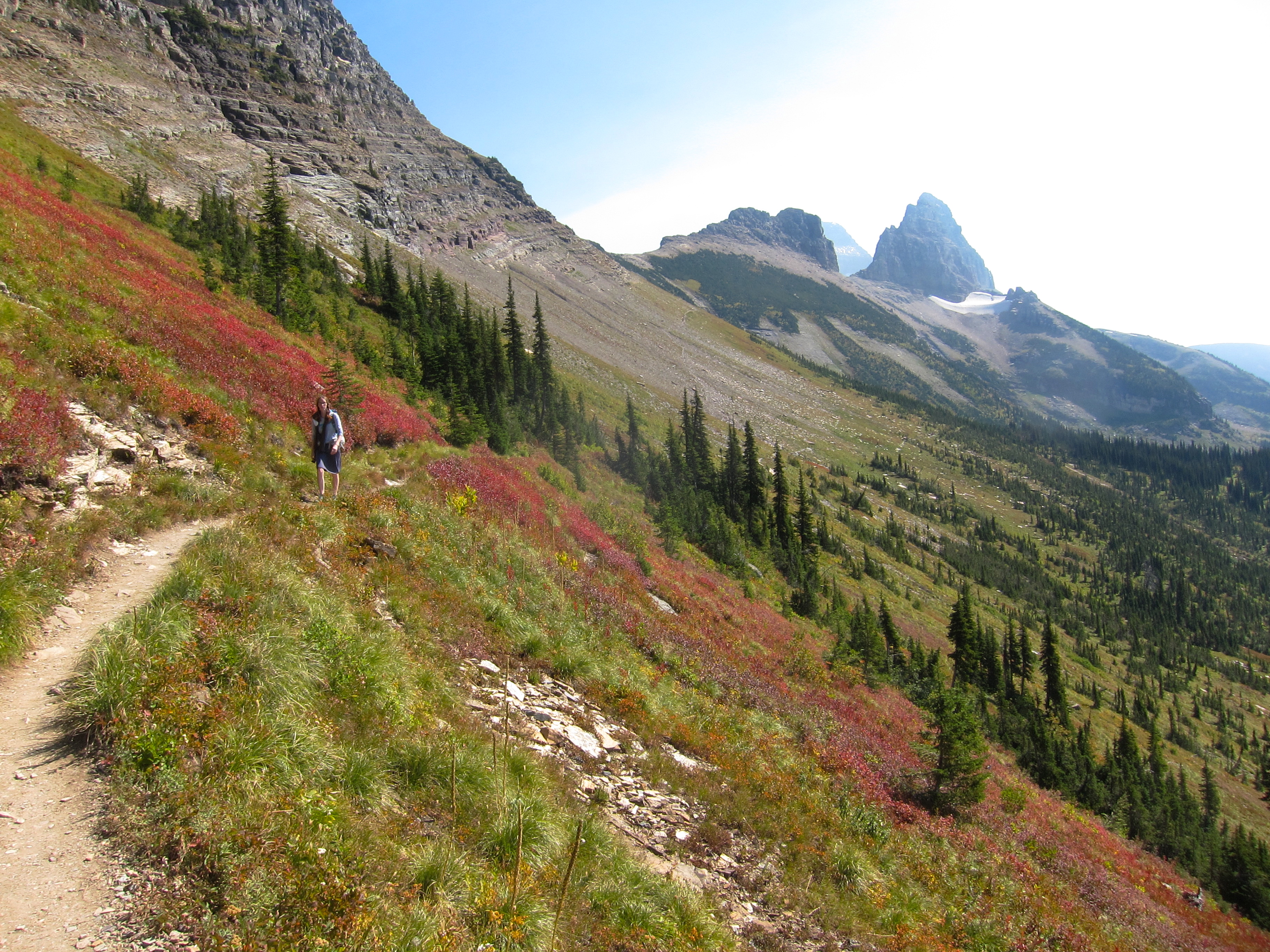
-Though not really technical, and with stretches of surprisingly mild terrain in many stretches, the extensive scree and sidehilling will be quite wearing for even the best prepared hikers. Light loads are recommended.
Have at it people.

Leave a comment