Just because we were in the second half of the trip did not mean that suffering was not be to had. I wasn’t any more sore on the morning of day 5 than previous days, but legs and feet didn’t feel any less abused either. The simple fact of it was that we had passed the point of recovery, and without several days off would only continue to get more fatigued.
The schedule for the day wasn’t an easy one either, In fact, it was our longest dry stretch, even with the abundant water at our camp. We left with six liters each.
My recipe for trips in new areas is to try and seek out just enough beta to design a route which visits exceptional areas, and to execute it without too much futzing. No more. On this trip I had purposefully not made copies of detail maps from the guidebook, nor wrote down extensive cross-referenced information on water sources. All I knew about today was that we followed Indian Hollow up to the trailhead.
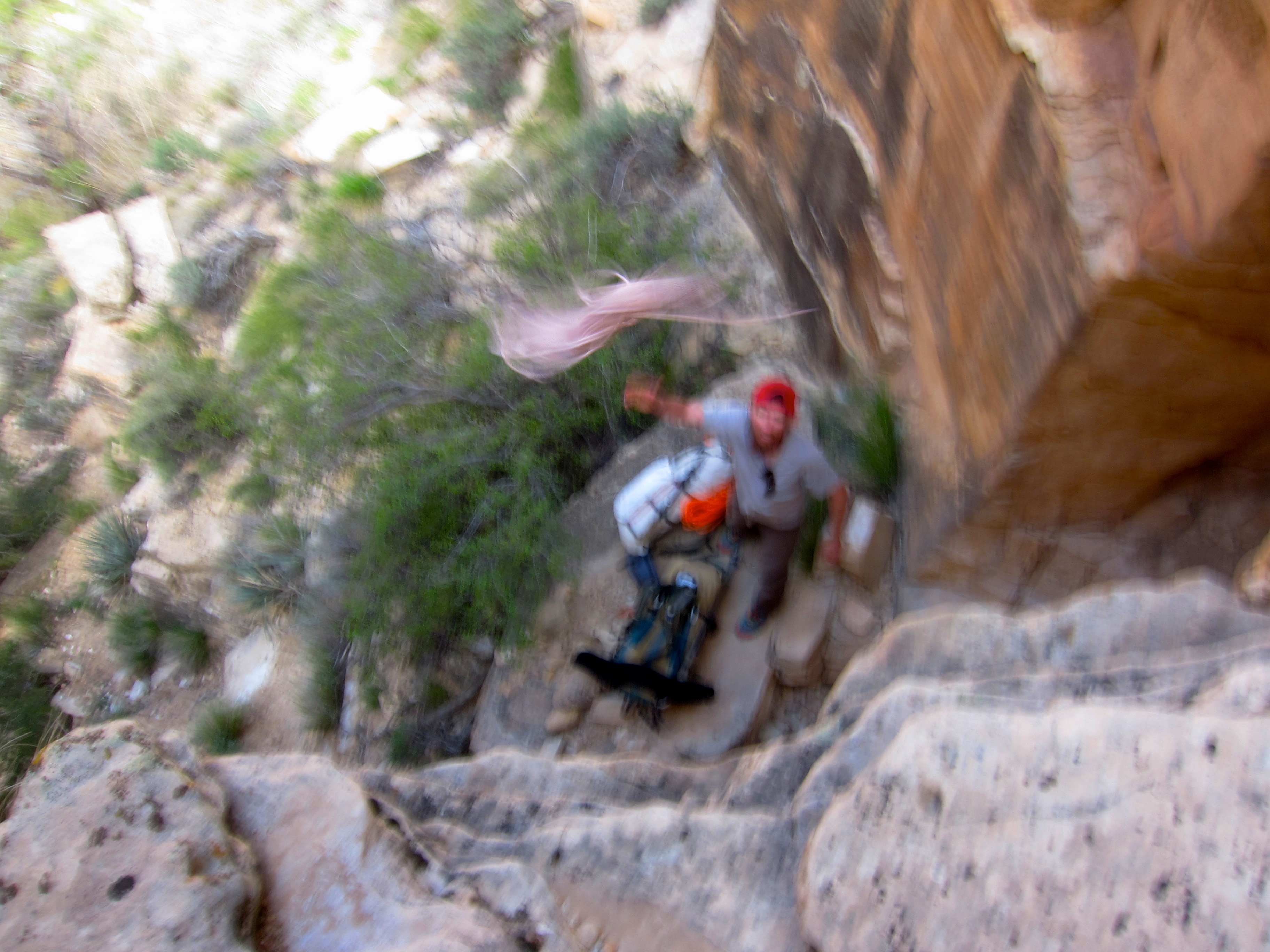
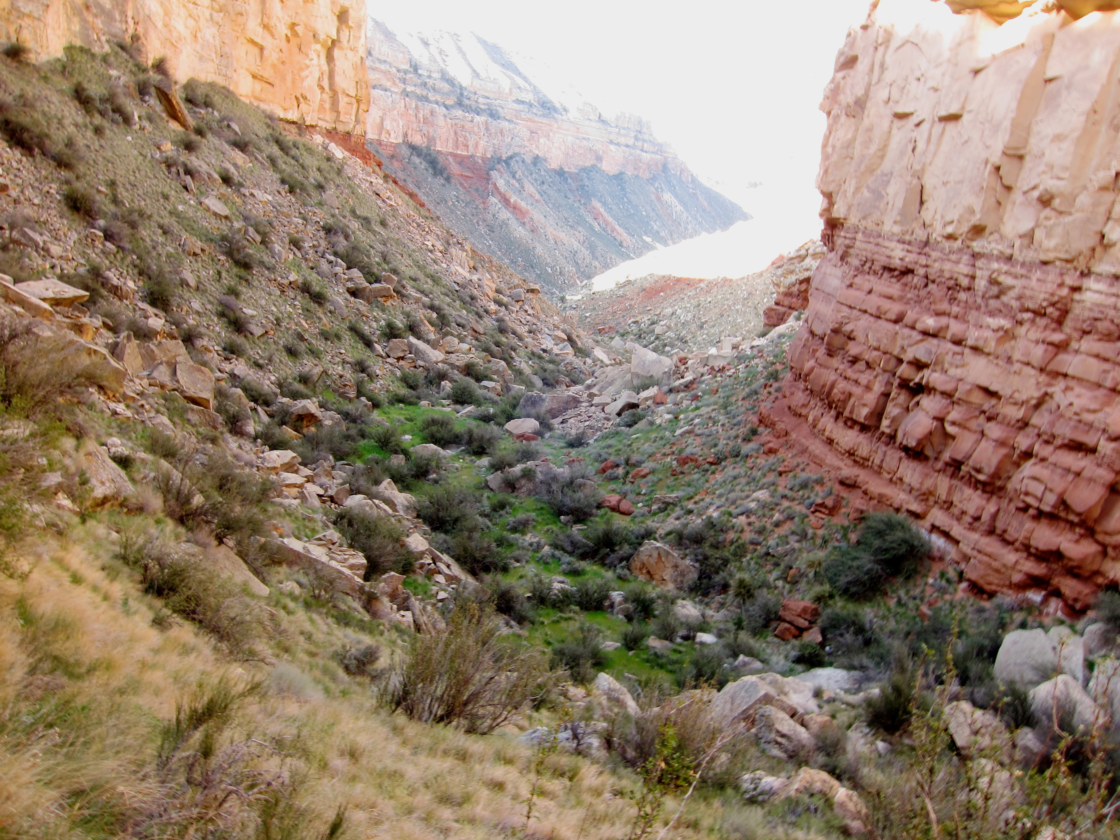
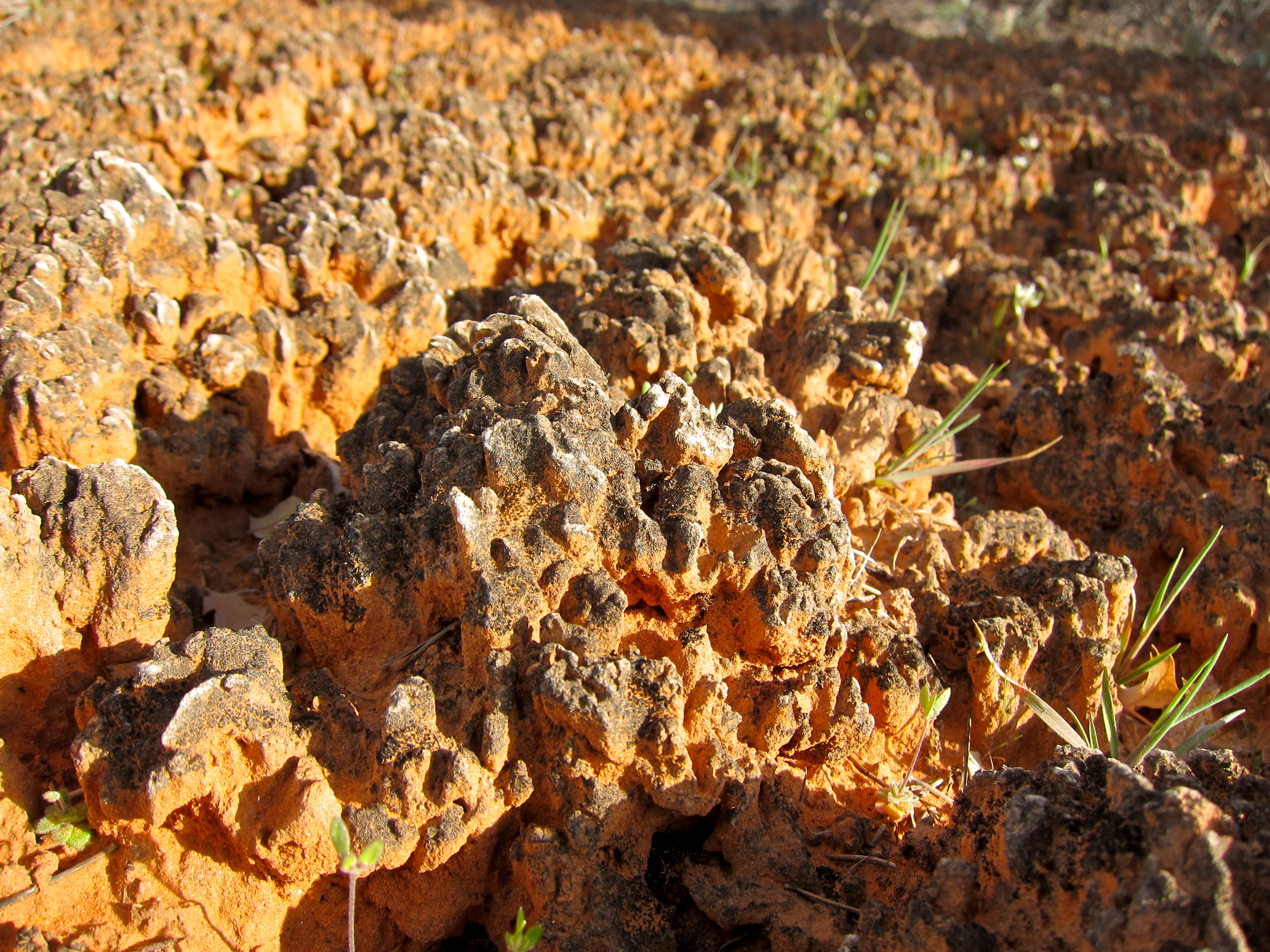
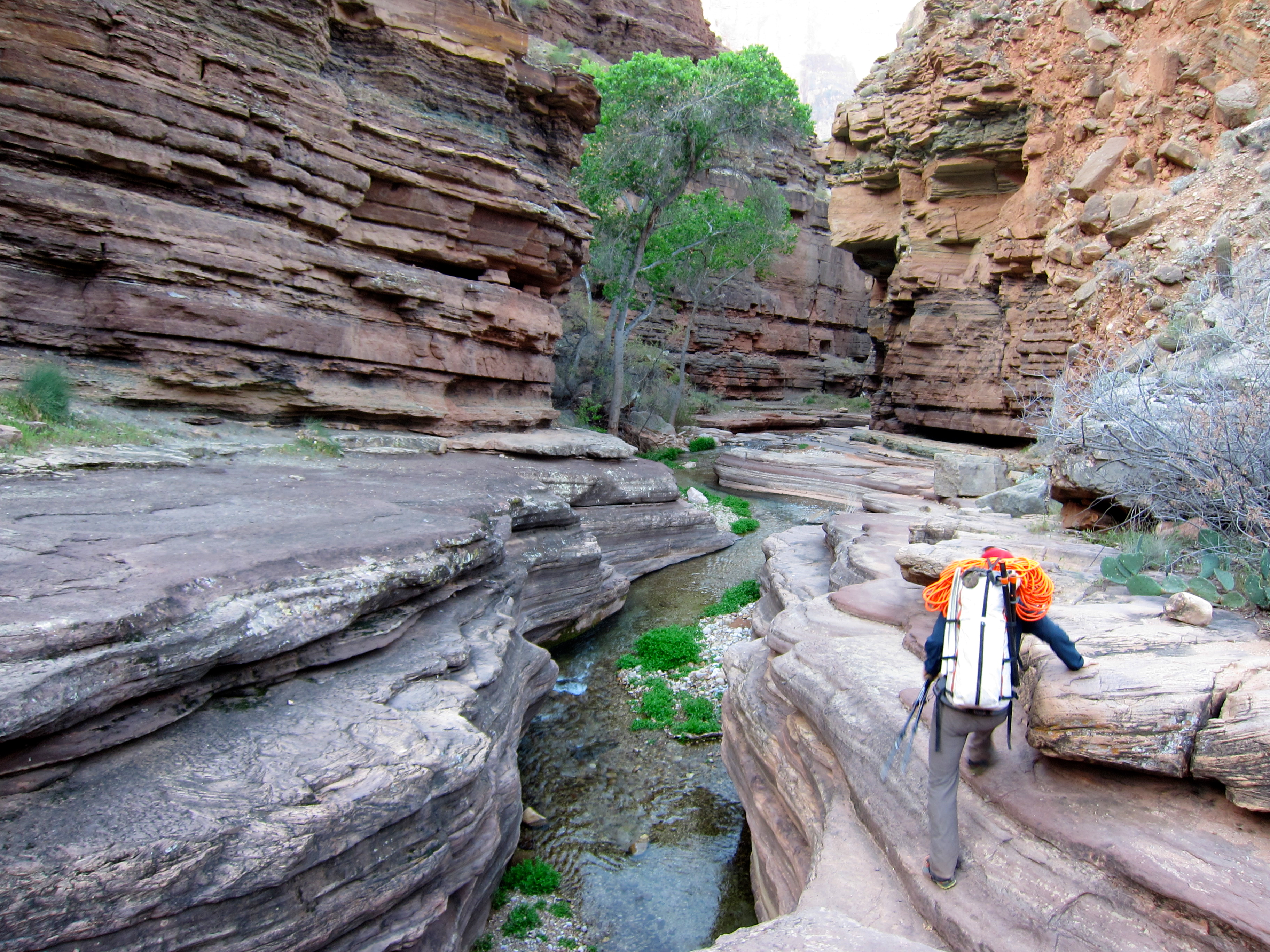
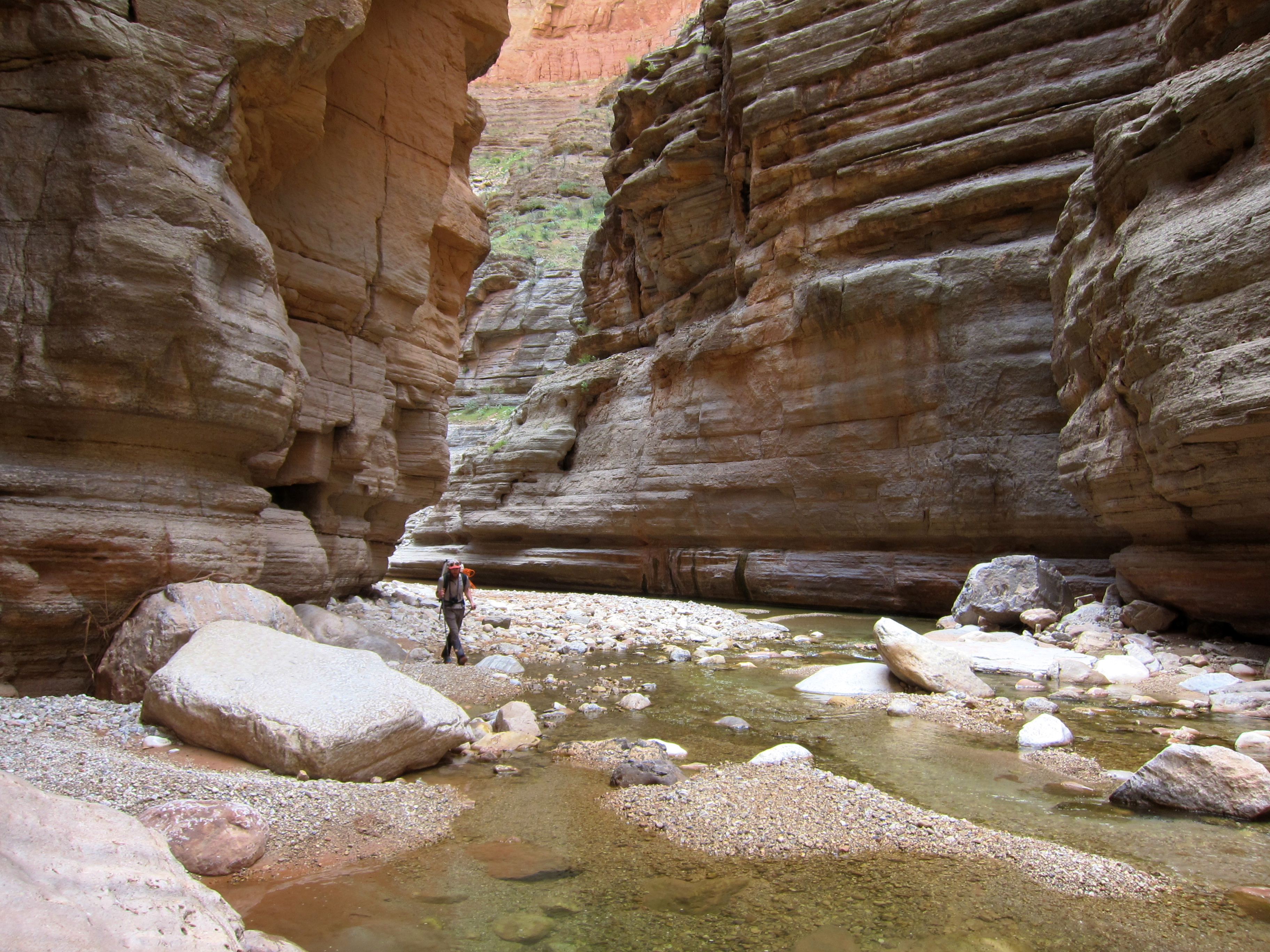
The Coconino sandstone tends to be a problem layer in the Grand, and from afar it seemed unlikely that it would go up the drainage. Footprints from the day before had petered out, but absent better ideas we kept going. Turns out it does go, albeit barely, with a few short climbs on sketchy rock, pack hauling mandatory.
A few more miles up the increasingly shallow drainage, following mountain lion tracks through the p-j forest, and we saw a trail on our left. Walking on a groomed surface felt weird, and in a minute or two we were at the rim, and world fell away.
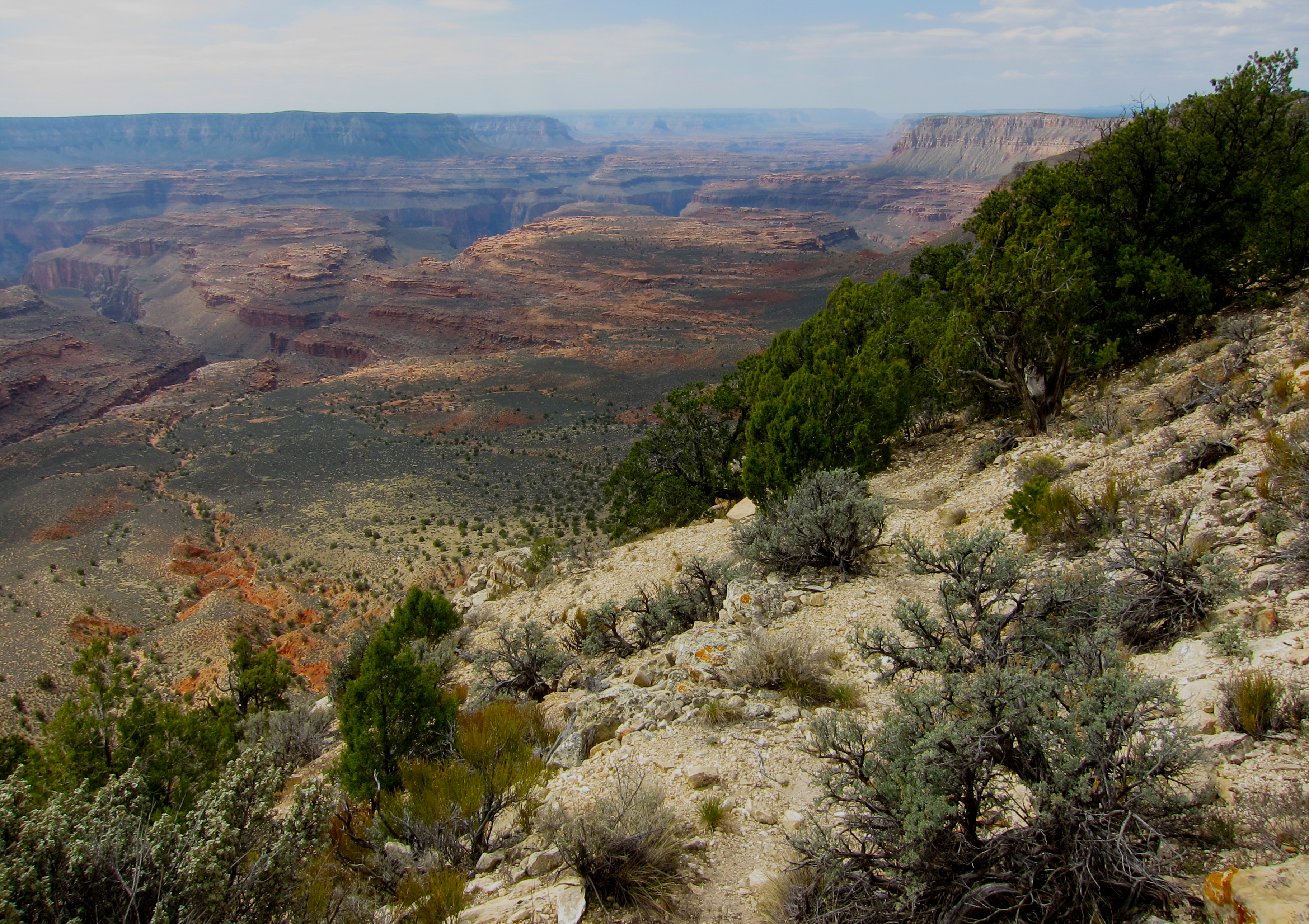
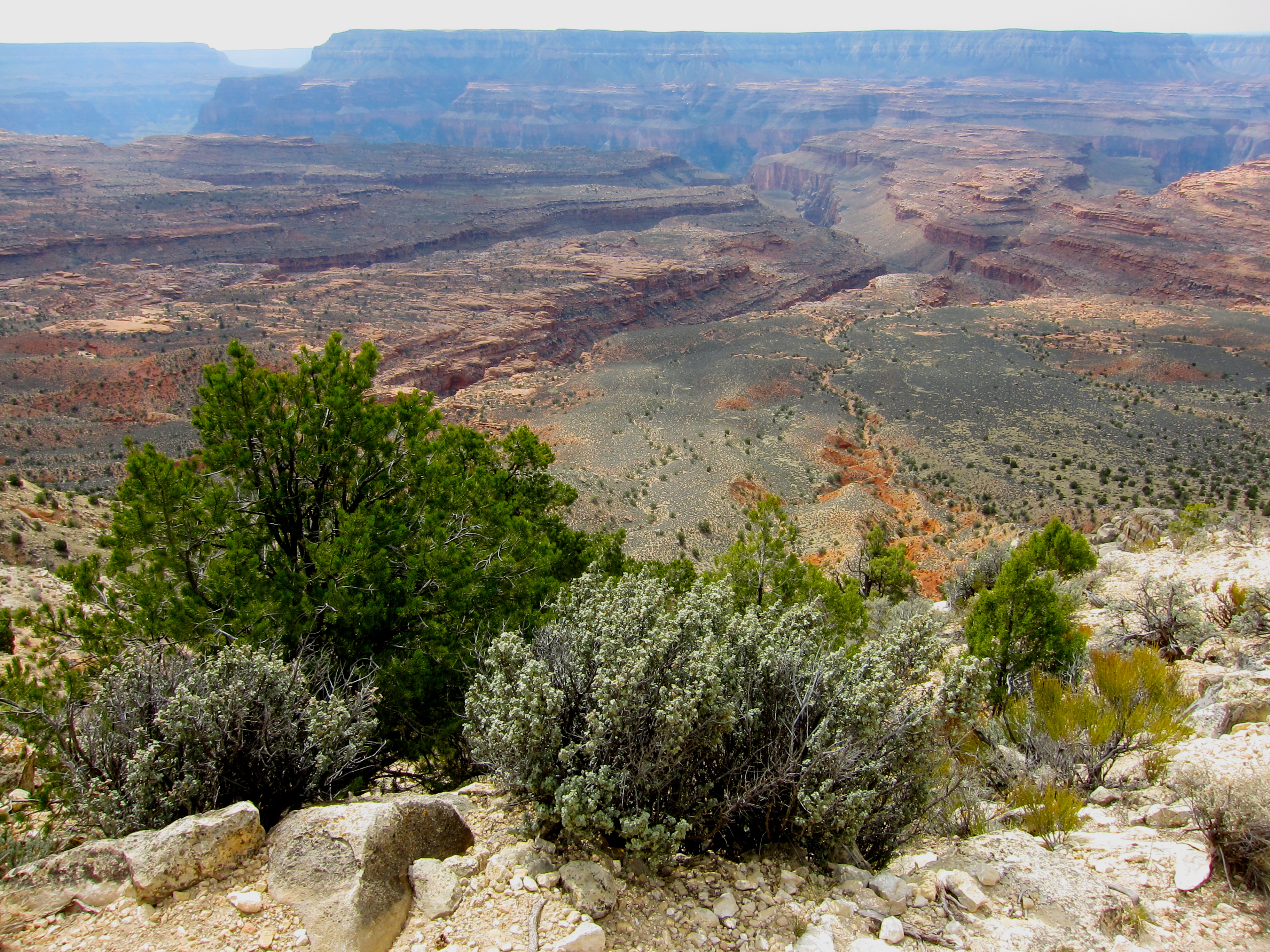
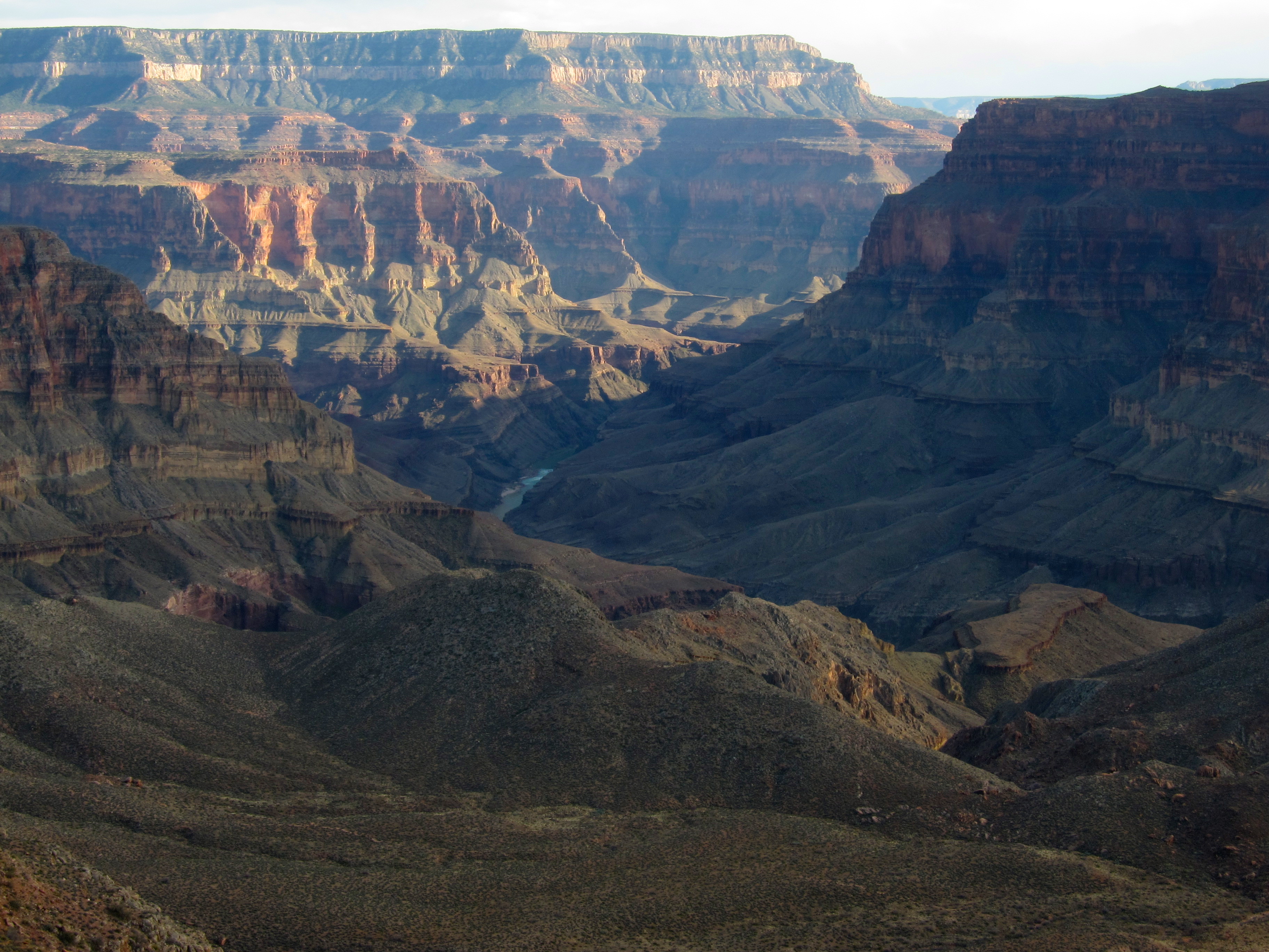
We could see west, to and past everywhere we’d been all week, and east, down to where we were headed. We hid in a bit of shade and took a slightly extended lunch to soak it all in.
While it had us moving over 3 mph for the first time all trip, the Indian Hollow trail was rugged. It was also in the full sun. Objectively it wasn’t that hot, but we were both at a slow roast all afternoon, with water supplies and the miles to go on our minds. The very few photos I took all day provide good testimony here.
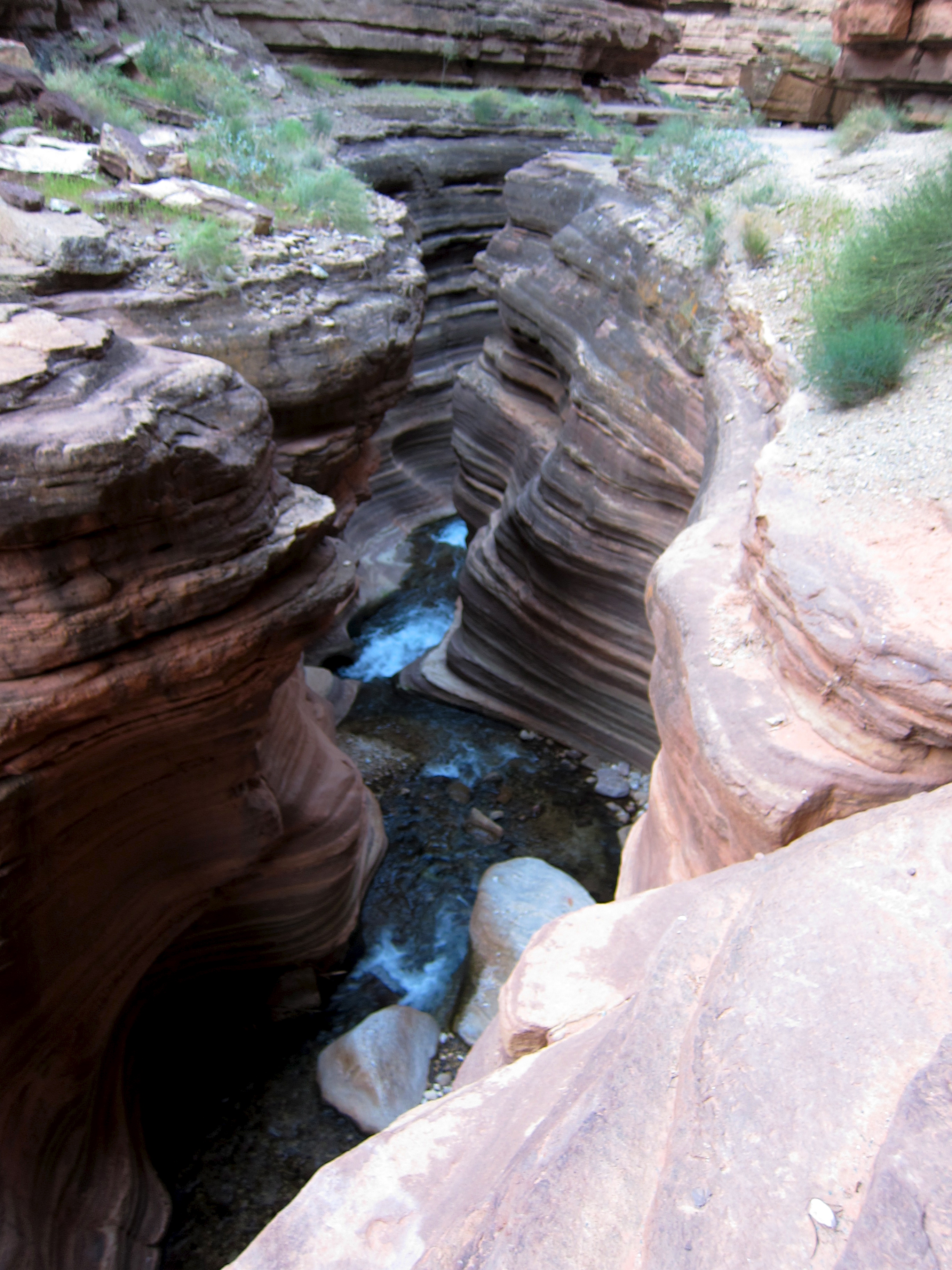
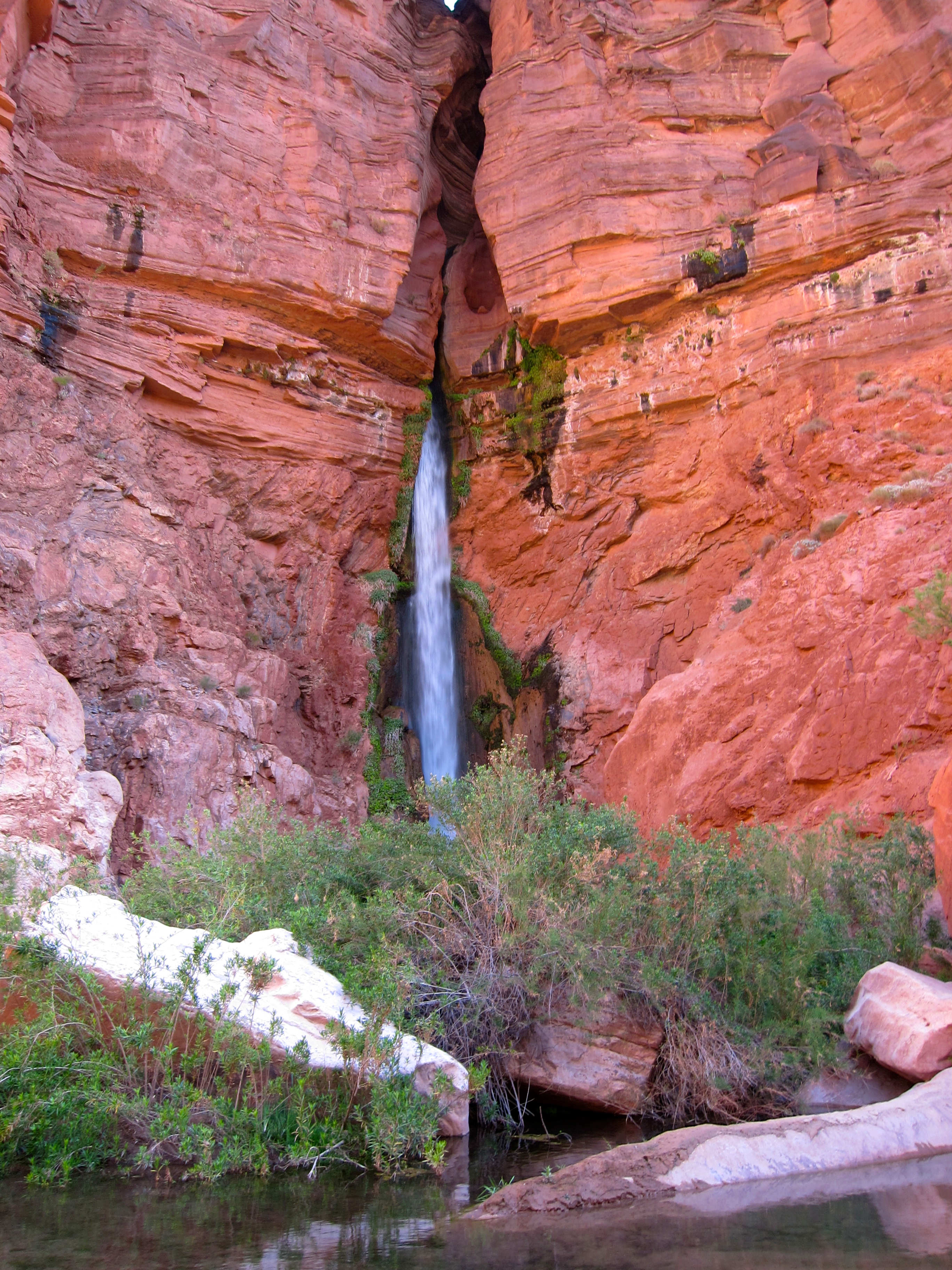
We had intended to head down the east fork of Deer Creek, which promised a few rappels. We headed down the upper part of the drainage, finding a bit of water to tank up on in the process, but quickly concluded that few raps and lots of elevation to loose meant lots of boulder hopping and loose sidehilling to bypass small drops. Frankly, we were pretty over that crap, and bailed back to the trail. With miles to make and little daylight left to make them, feet and quads were sacrificed at the alter of pace.
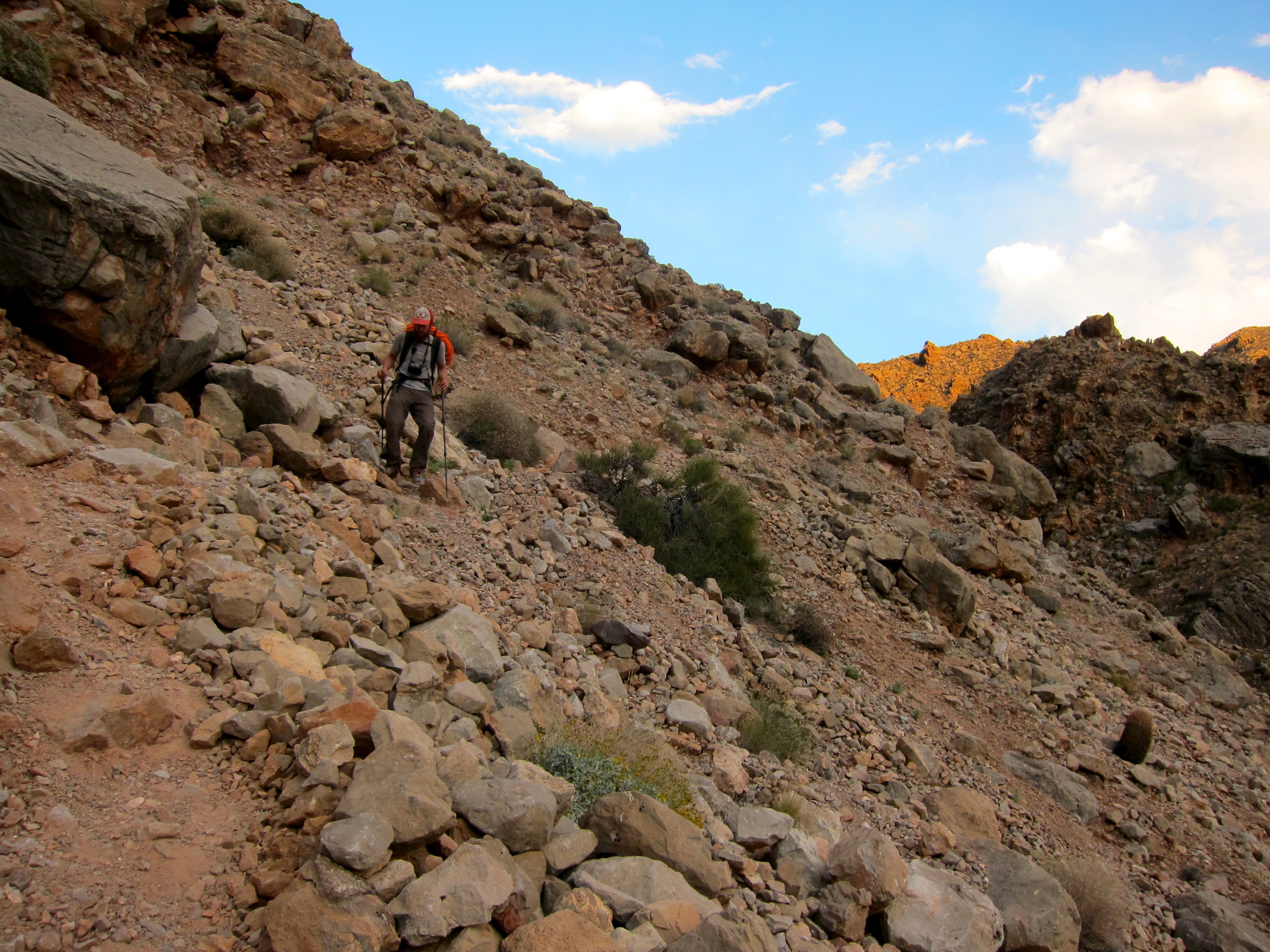
For a trail, it was outrageously steep and rocky. The scenery and light were unbelievable, and we easily made the decision that it had been a good option. With so much of the trip spent down in deep canyons, more time up on the rim seeing big views was welcome.
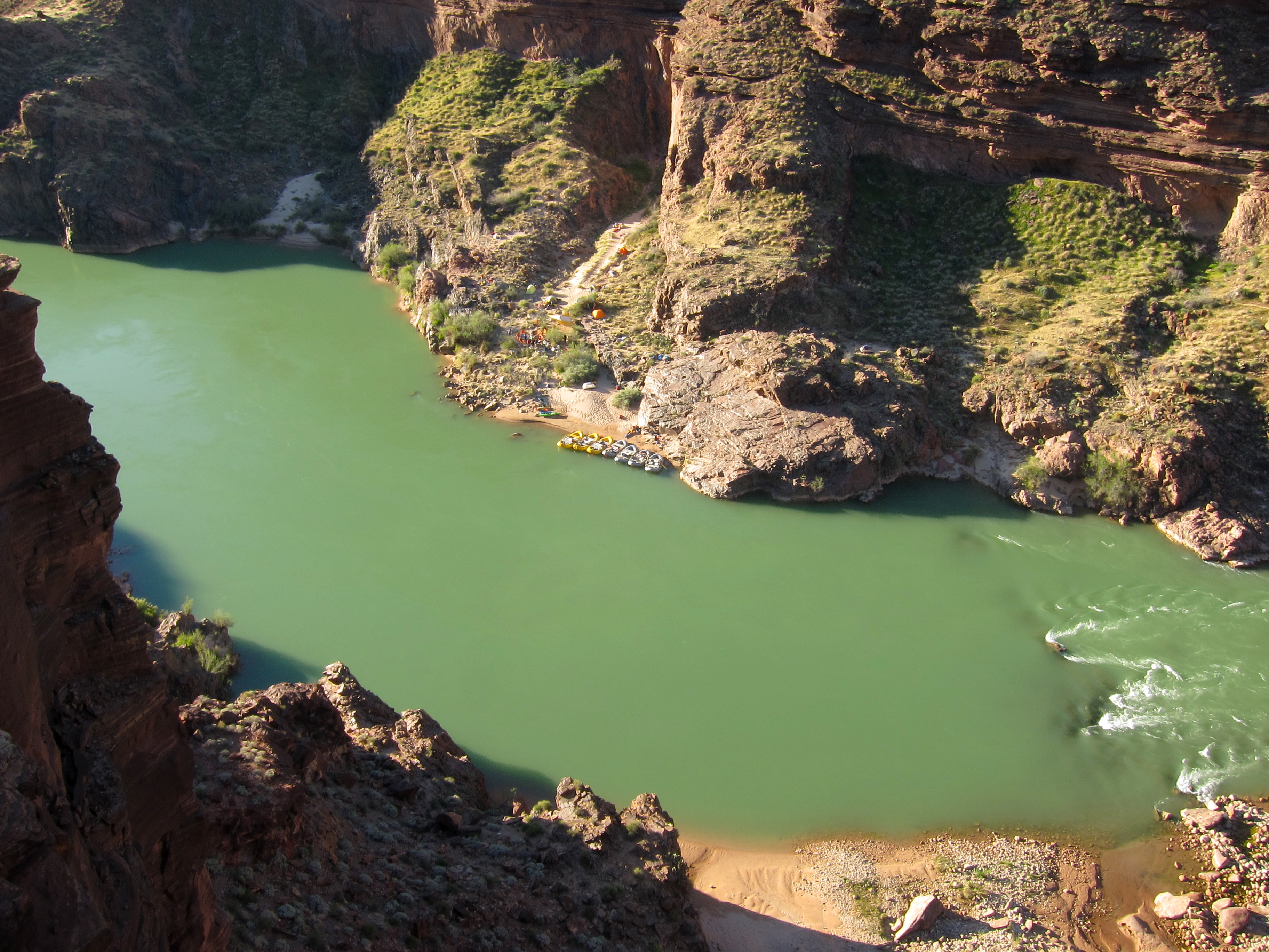
We made Deer Creek not long before last light. Soaking feet in the cool water was very, very nice. We chatted with five college students from Eugene, who had driven all night, got their permit that morning, and busted down the ten miles and 4000′ vertical starting at noon. They were moving a bit slowly. Shades of days past, that. Ahead of permit and without a space in the campground, we bedded down almost on the trail, ate dinner, and fell asleep to the sound of water.
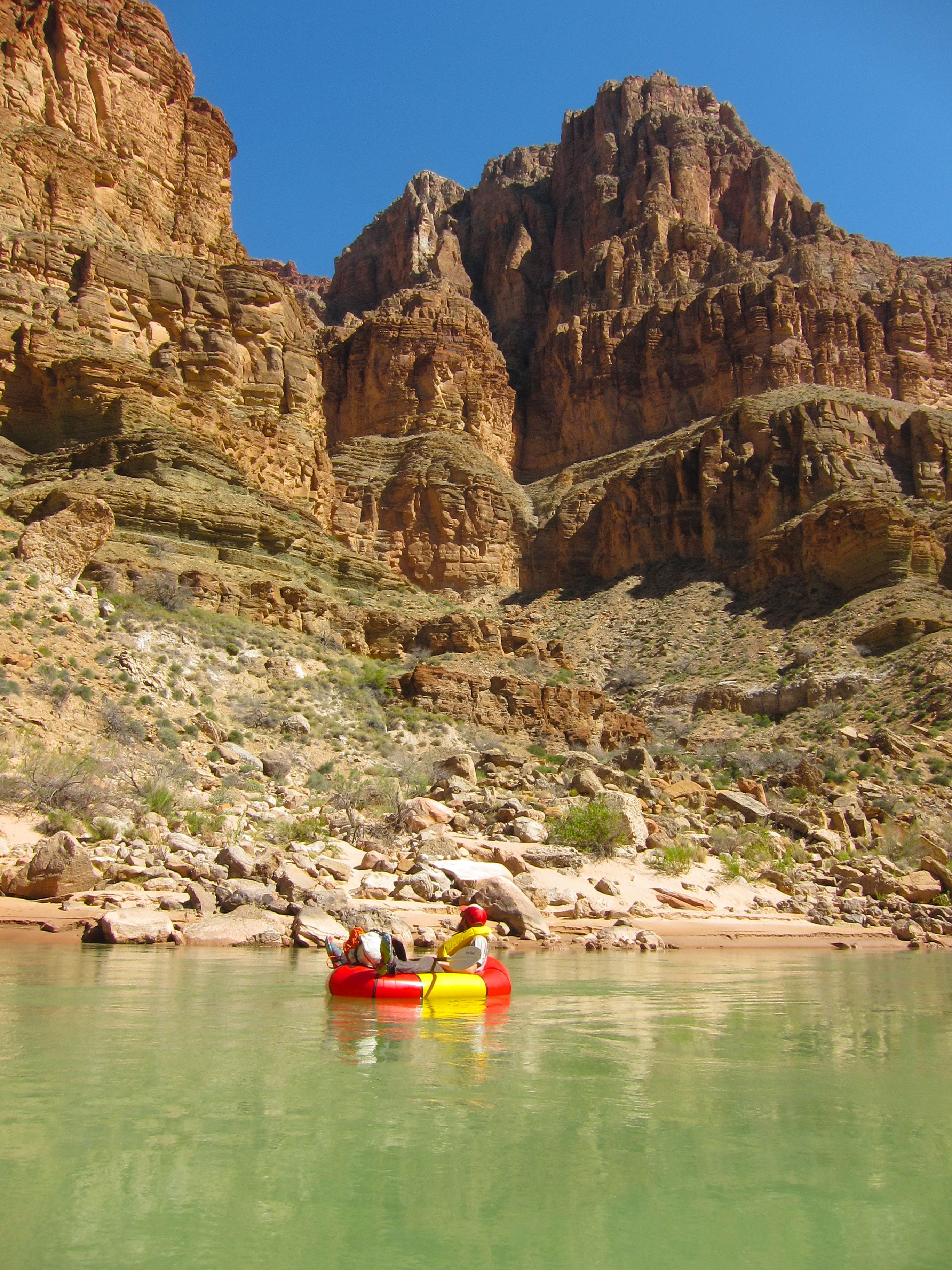
Aching feet aside, it was easy to be psyched the following morning. Our camp, under vibrant green cottonwoods, was gorgeous, we still had plenty of coffee, and all we had on the menu for the morning was a short stroll down to the river and a nice float downstream, with a few rapids to walk around.
Remoteness felt backwards on this trip. The rim, accessible by car, felt far away from anything, a fact explained by the long and not particularly stress-free drive in (especially in my front wheel drive hatchback). The river, all three times we visited it on paper the furthest from civilization, had the most people, the most evidence of human traffic (read: garbage in the bushes, footprints on the beaches), and provided the most likely and really only chance of assistance, rescue, or egress.

We floated by two camps shortly after putting in, one of whom was close to shoving off, and began to catch us as we portaged every rapid. They were polite and interested, but diffident. We seemed and acted like different species. It is surely my bias, but I did not like it. Good roads at Lees Ferry and Diamond Creek, and a permit process which allows roughly half a million user days a year, has de facto turned the Colorado River into an expensive and technically demanding toll road through a big chunk of wilderness.
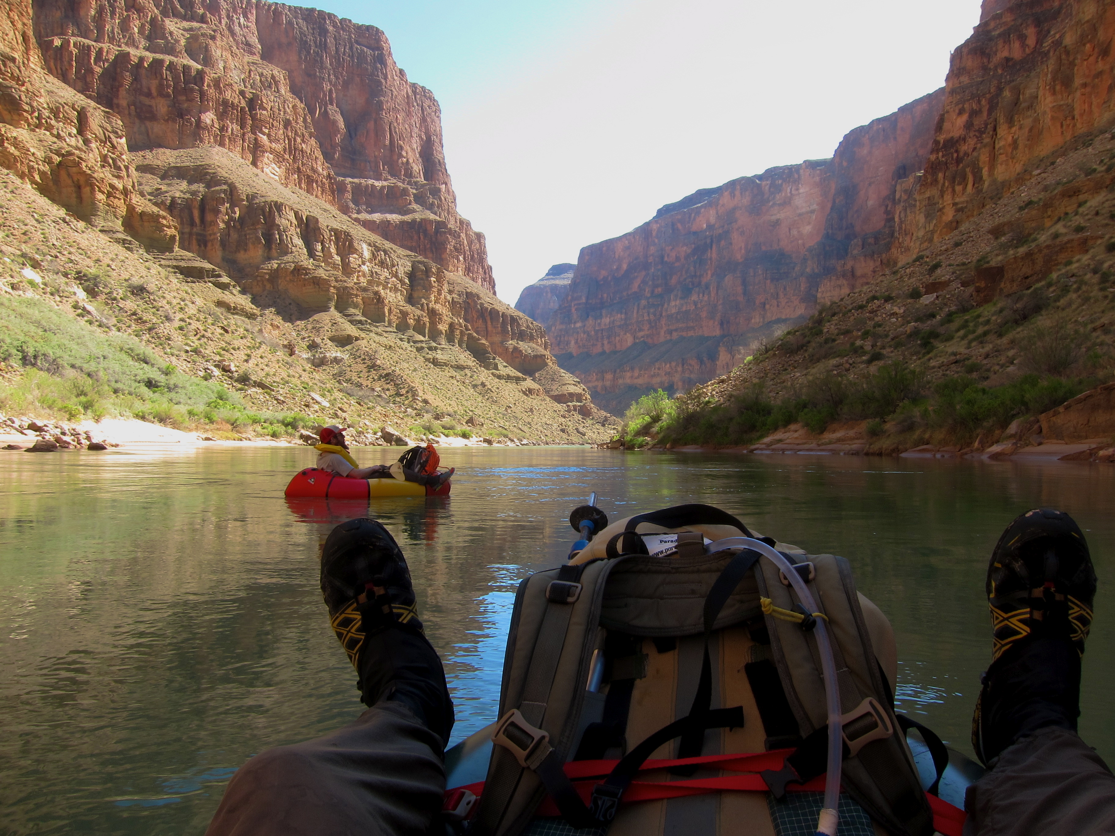
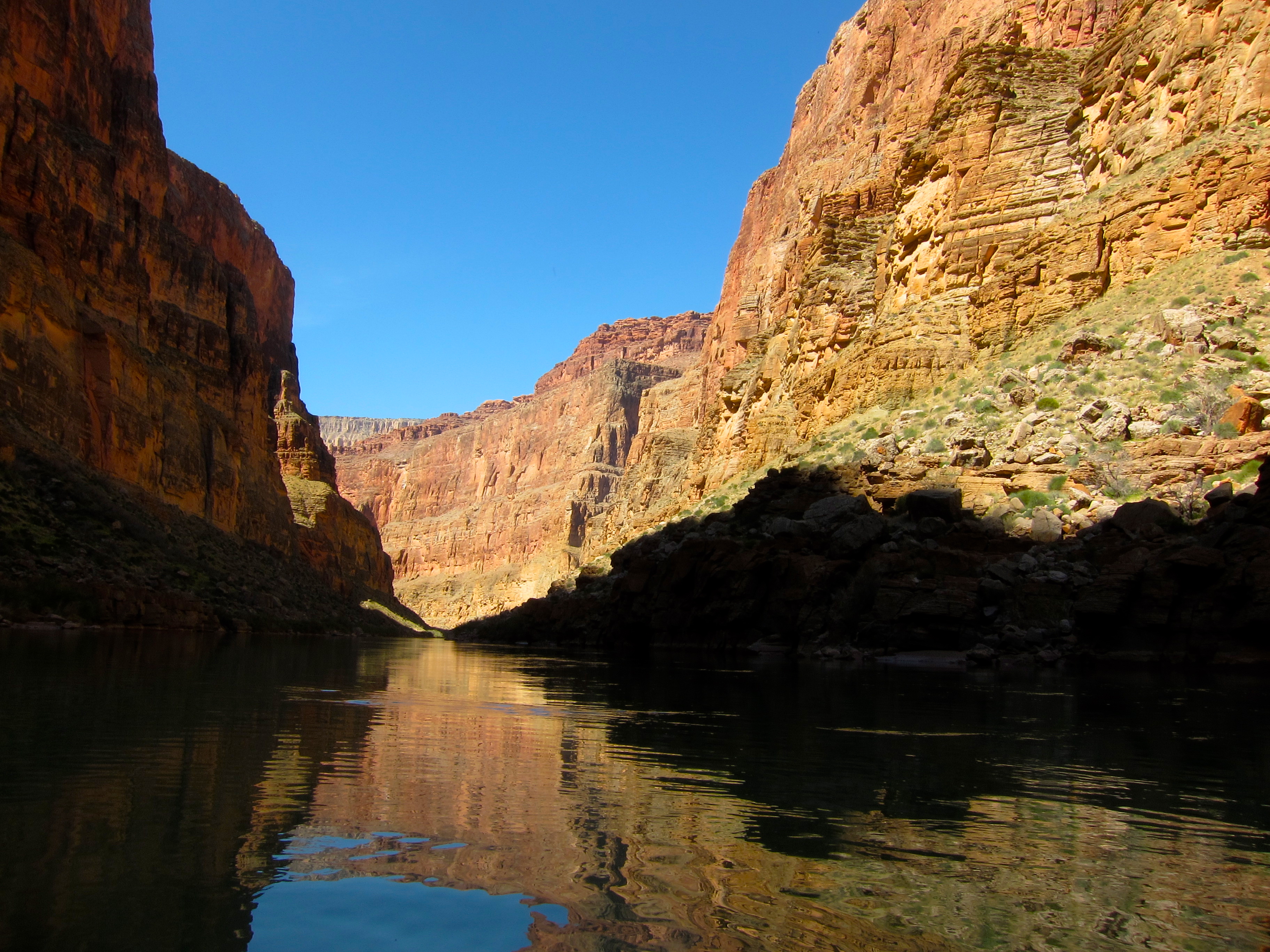
This does not diminish the fact that floating is an awesome way to experience the canyon. We had quite a few portages in the first few miles, and horizon lines and our lack of experience on that kind of river had us on edge and making conservative decisions. Soon enough we relaxed, and were able to enjoy being off our feet, with easy access to unimpeded 360 degree views.
The slow river and packrafts did their job, facilitating a mental reset and a new way of looking at that part of our trip.
The peace was not too last, as we took out at Kanab with full knowledge of the burl which awaited us, and a good time estimate of how long it would take.
Fresh legs, or at least as fresh as was possible under the circumstances, had us beat our past time up the first, easy half by a huge margin, which was welcome. The WTF boulderfields went less easily, but when we parked ourselves on a small beach at the mouth of Scotty’s Hollow, it was the earliest we had stopped hiking all trip.
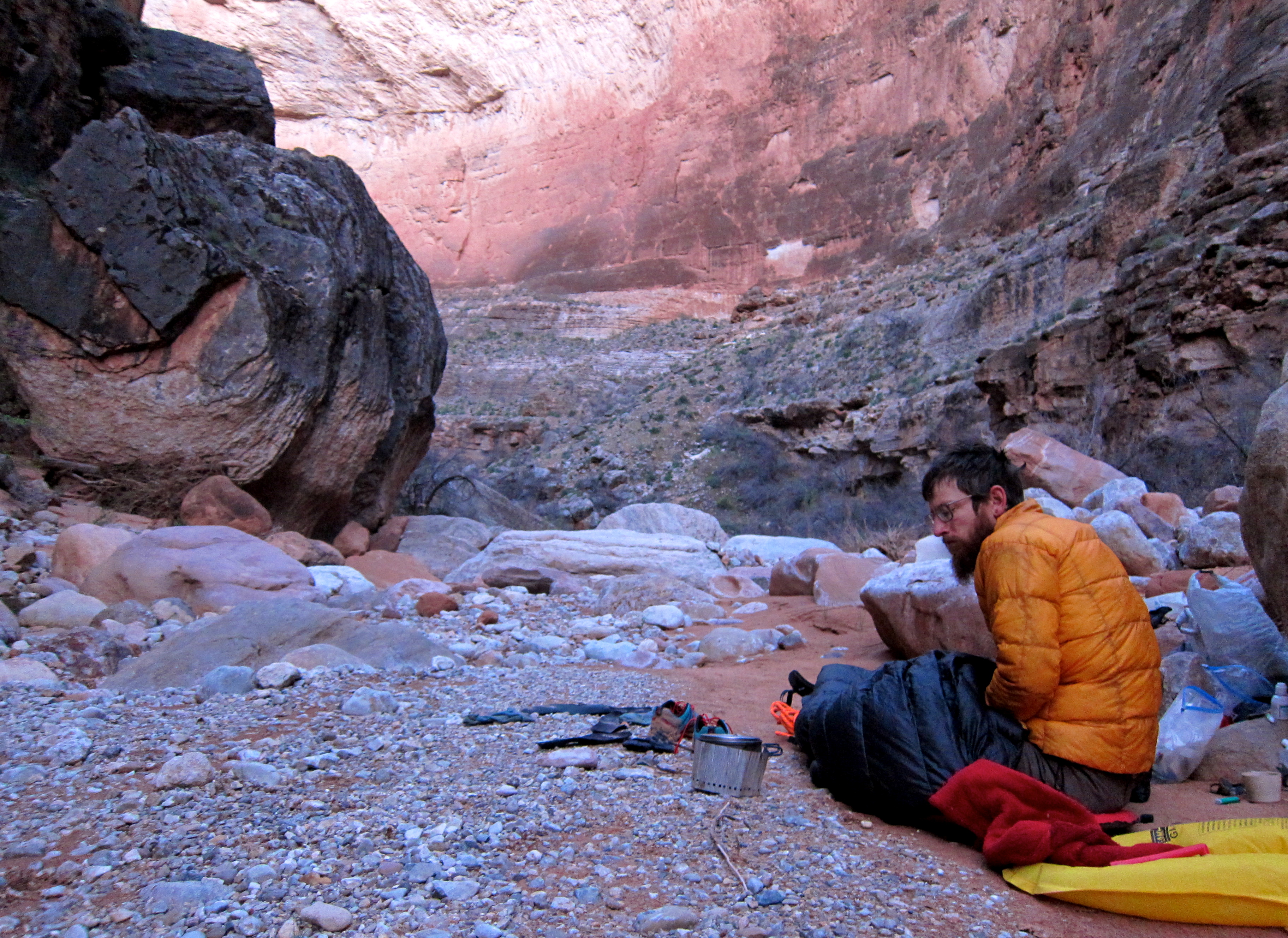
This seemed fitting, as it was now a lock that we’d be up on the rim in 6.5 days, rather than the eight we had food for. While the ascent promised plenty of difficulties, being over 3000′ above us, the trip was in the bag. We chatted a bit, but mostly ate and drank tea in silence, staring and listening to the huge, encompassing place in which we were still, that night, enveloped.

Leave a comment