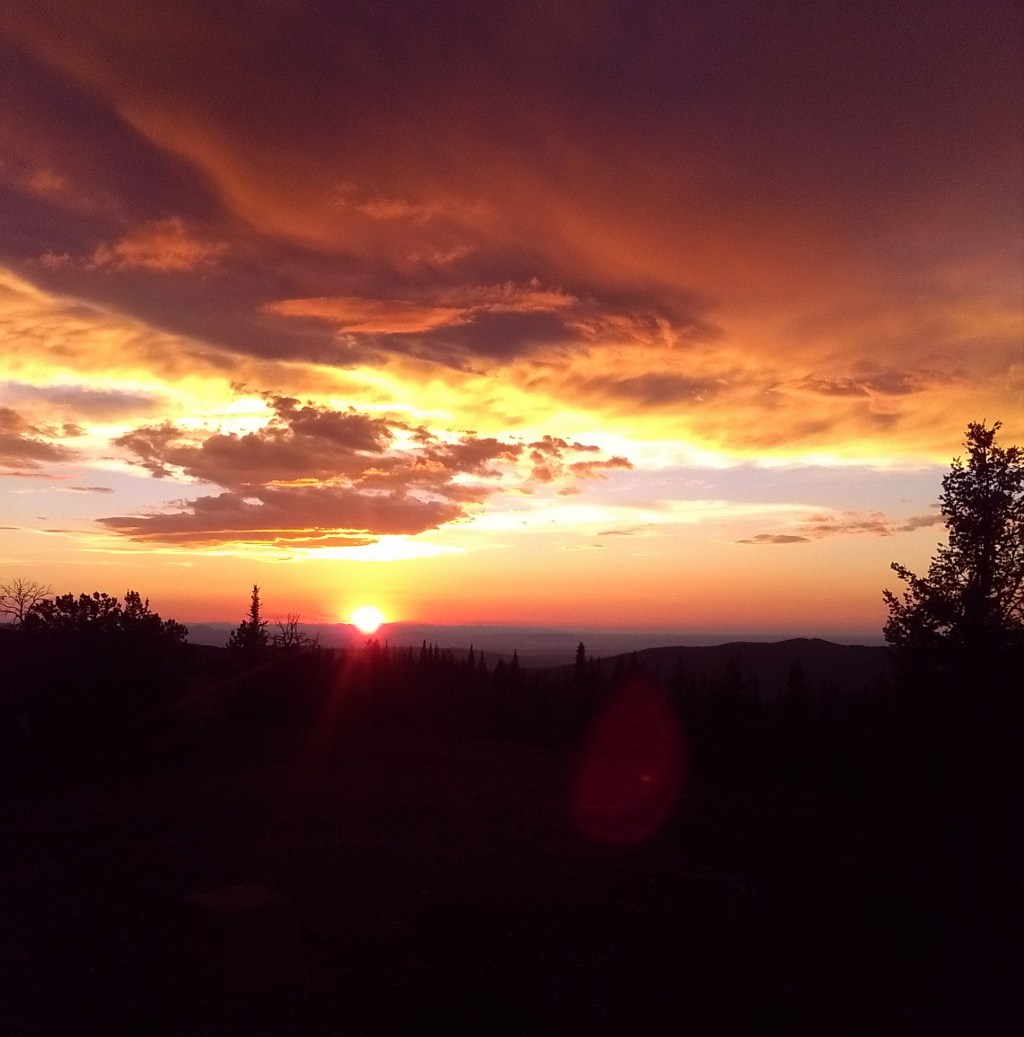
Last week I had the pleasure to be rained on, atop a broad mountain ridge. Having driven several hours through plains reaching 100 degrees, I found on reaching the top that summer weather had come along with the early summer heat. Stopped in the car by snow lingering in the trees, I assembled bike and backpack and pedaled up and along in a driving rain, sprinting, inasmuch as one ever could uphill carrying a 40 liter load, when the lightning count got short. That evening I stayed indoors, watching the sun set over one range, while illuminating another I had never quite known to be in range.
The next day I wandered down a ridge, trying and failing to avoid the prodigious deadfall, and forded a cold creek. There was a cliff just upstream, a fence just down, and the boulders were the size of ovens and tried to take my feet. I’ve floated this creek twice before, and a third example has me no closer to correlating apparent conditions with flows. On this occasion, with only a distant spangling of snow the creek was full, and eagerly crawled around the next bend. Holes and waves grabbed and tugged, and previously simple plops had me wheelieing downstream, moves out of synch with what the creek had. The biggest drops were, befitting the theme of this year, stuffed with wood. In the canyon now, I had to drag my boat upstream, chest deep in thin eddies, to a spot with enough latitude to ferry across and climb a manky chute to the rim.

This creek, and this place, are phenomenal. And in equal parts, ephemeral. The season for floating is short. The access is indistinct, and none of the ways in are short. The setting is big, with a scale and a profusion of trees that flattens out the mountains and hides them in front of you, until you’re downclimbing through old growth spruce, kicking granite lumps down to the elk paths, or following up one of the fall line horse trails. The place is, in short, one of those ranges whose incremental obscurity combines with scenery a few notches off of what we find most accessible, and keeps it unnoticed. The lack of capitol letter designations, of the W and NP, helps.
The duality of name brand designation, and especially the associated marketing, has in the past decade established itself far too well. Protection from resource extraction and development was as complicated as protection from tourist development a half century ago. Protection from the information and attention economy has proven a task more difficult than either. If the essence of the wild is, in brief, in novelty relative to human experience, how can we humans protect it from ourselves?
The easy answer is to shut up. Documentation killing mystery is in the internet age as basic as one plus one. And when it comes to the place here mentioned, I’ve mostly done that, though if I were truly committed to wouldn’t drop enough hints and photographs to easily guide those with a bit of knowledge. The more complex answer has to do with the future, and the seeming inevitability of restrictions. Across the west parks and forests have management and travel plans that have not been substantively updated in decades. Added traffic is forcing this process, and making for updates that must be both sweeping and potentially radical. Having no track record of a use like packrafting (or cycling) makes for a shortage of leverage when the time comes, and while hiding things from land managers which are new and potentially controversial can work well for a long time, increasingly is does not seem to be a sustainable approach.
I made my choice over 4 years ago, when I put the full(ish) version of the Crown guidebook up for sale. Whether and how this will prove a good influence, long term, has yet to be decided. And because of that I struggle; what level of conversation and documentation is most appropriate, long term, for other places?

Leave a comment