The Dearborn River can, for the purposes of floating, be divided into five distinct sections. All of them are worthwhile destinations, with short seasons relative to neighboring streams. Some parts of some of the sections are exceptional for their respective genre, and I make a point to float one or two every year.
The only gauge on the Dearborn is right at the 287 bridge, an ideal location for averages between stretches, and the lack of significant tributaries, especially out on the prairie, make generalizing 50+ miles upstream less problematic here than just about anywhere else in the neighborhood.
Above Devil’s Glen (inlet of Milky Stream or so) the Dearborn is small, brushy, and not especially steep. High water and a determined packrafter will see things floatable at least at high as the 6200′ contour, i.e. well above Welcome Creek, though I doubt any conditions would see this stretch float faster than it would hike. In other words, a classic backcountry packraft creek. There isn’t anything harder than class II here, but with all the woods and tight bends it won’t feel that way. You want high water for this stretch, probably at least 500 cfs.
Devil’s Glen down to a bit below the trailhead has been kayaked for a good while now, and the ~70′ per mile gradient doesn’t tell the full story of this class V (perhaps class IV at just low enough but not too low, maybe 150 cfs). Like all of the harder Front whitewater runs this part of the Dearborn mixes short bedrock cruxes with flat stretches and some moderate boulder gardens. A few of those cruxes are very cruxy indeed. My least favorite stretch as the difficult is a bit over my head, though the hike/portage is as good as it gets. At lower water the clarity and beauty of the water here cannot be overstated.
Most people will start the next stretch at the 435 (aka Dearborn River High) bridge, with the ~5ish miles upstream to the end of the whitewater not having anything of note, save one very inconvenient diversion dam. I didn’t get around to floating 435 down to 200 until last year, and found the float more scenic and enjoyable, and less difficult, than expected. Solid class II, save for Dearborn “Falls”, which is a two teired ledge slide/flop that at 700 cfs was maybe, maybe class III. A good bit rockier and less constricted than the 287 down stretch, and thus I’d insist on lots more water here than either of the below stretches, and probably not go with less than 500 cfs.
200 to 287 gets firmly into the prairie, has cool (to me) scenery, and a few very nasty barbed wire fences that each time I’ve been down have been poorly marked. Almost all class I paddling, with some backcountry-style wood and brush hazards. It would surely work fine in little boats down to 200 cfs, but be rather slow.
287 down to the Missouri is the only stretch of the Dearborn to get any regular traffic, and then only in the ~4-10 week stretch with flows above 350 cfs, which brings out the raft/fishing/party brigade. Packrafts can do this bit on 100 cfs no problem, and the mix of good whitewater, bends, and extended flat bits down low make a swiftwater canoe a fun option down to almost that low. I caught this stretch last year at a hair over 1300 cfs, which was truly a hoot, and expectedly rather more challenging in all the funky boils and seams produced by the many cliffs and turns. Objectively this is probably the highest overall quality of the five stretches, and thus deserving of its mild popularity.
Due to the chopped up nature the Dearborn mostly lends itself to day trips. Floating the first and second sections on the same trip would require either big whitewater skills and commitment, some serious mankaneering, or both. Floating out from the wilderness all the way down to the Mo would be a fun one, and something I’d like to do in the near future. This aside, most trips on the Dearborn will be either sport boat runs of the second section, or road shuttled runs of one or more of the lower 3 sections.
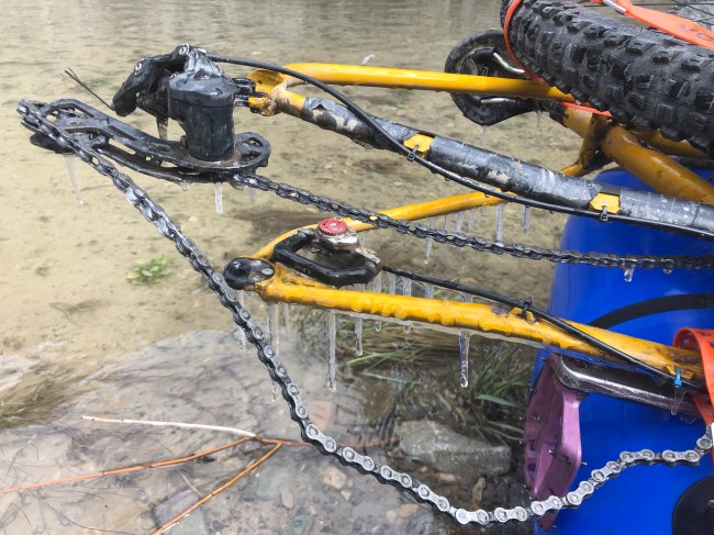
Sections 3 and 5 both make for excellent bikerafting loops, with modest miles on paved highways whose traffic is generally light and respectful of bikes. Both 434 and the Sevenmile cutoff from 287 to Craig are enjoyable, scenic gravel riding, not overkill on a mountain bike but doable (especially the later) in a fat tired road bike. 434 has less of a gravel base, and thus will have some gumbo mud if things are wet.
Virtually all of sections 3-5 flow through private land. Montana law provides for streamside camping here, which on section 5 is somewhat constrained in options, in the upper 2/3s due to a narrow, winding, and cliffy river course, and in the lower 1/3 due to the density of vacation houses. My anticipation is that, in the coming decade or so, this part of the Dearborn will again be the site of controversy about floater rights, in this case because it is very tempting for floaters to push above the high water mark while camping to get a nicer tent spot. If camping on this stretch, be realistic about your tent location, and don’t wait too deep in the float to pick a spot.

Leave a comment