Discussion about the Bob Open is heating up over at BPL, as is appropriate for this time of year. It’s just about late enough in the winter to use what resources are available to make meaningful extrapolations concerning what things will be like out there in two months. With that in mind, I want to talk a little about the most useful virtual resources for wilderness route planning (at least in the lower 48), Snotel sites.
The National Resources Conservation Services website got a big upgrade this past fall, making the interface faster to use and more informative. Not all Snotel sites are created equal. The best ones have the full spectrum of real-time data and are in a useful location. Snotels are handy for a snapshot of conditions, but much moreso for giving you an idea of how a winter and spring are evolving over weeks and months. The best way to build that picture can be had by checking the same Snotels daily or weekly while comparing them to the weather forecasts, and the most realistic way to do that (especially if you don’t live nearby) is to focus on a few of the most representative sites.
The individual site pages feature Lat/Longs, which are often inaccurate or not exact enough, but the new page allows you to zoom in on locations which in my experience are accurate. I don’t find the NRCS basemaps as good as other services, so I prefer to use the former to zoom in and examine site detail on another mapping service.
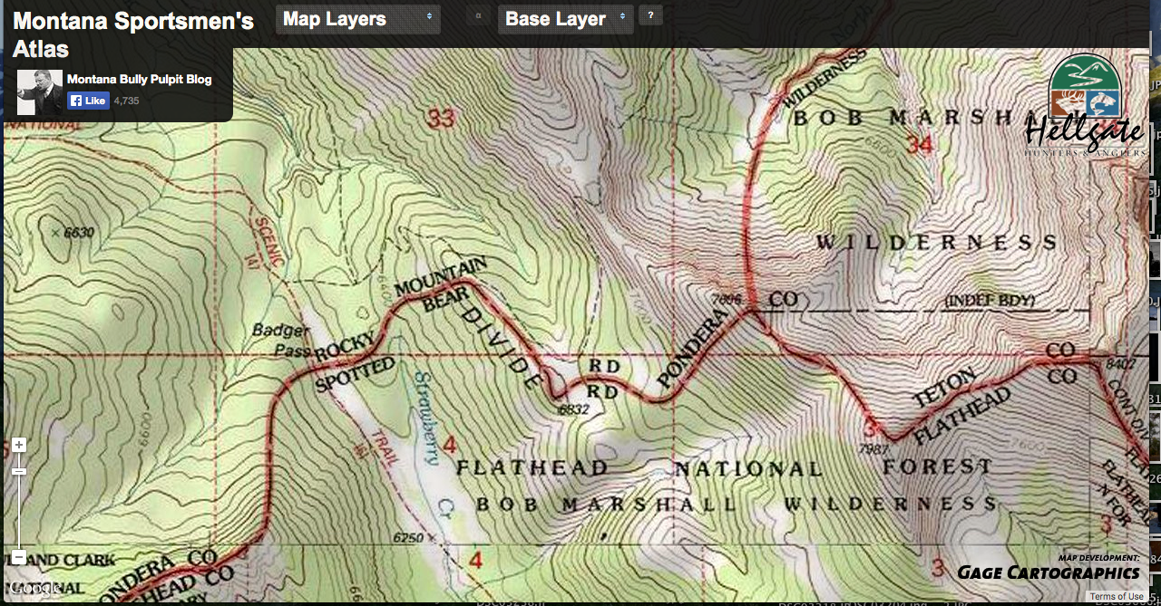
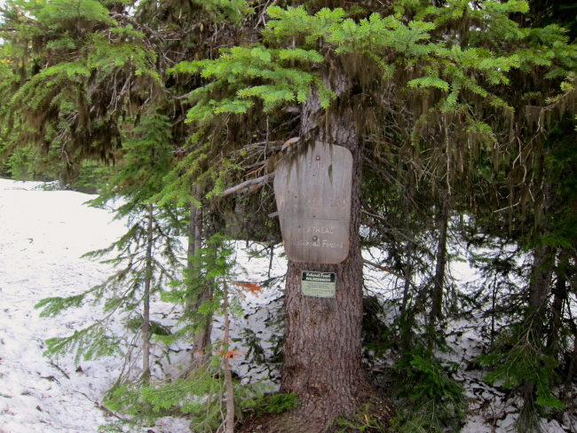
My favorite site in the Bob Marshall complex is Badger Pass. My most frequently used mapping site (because I’m using it for hunting trip planning so often) is the Montana Sportman’s Atlas. The Badger Snotel site is at 6900′, in a shallow but forested north-facing bowl just west of the Continental Divide (above the double “RD”s in the center of the map). It gives a good severe-case scenario of snow depth and conditions. The top photo is the wilderness boundary on the map above, which is the red line which divides the ranger districts.

The altitude, aspect, and especially forest cover of the Badger Pass Snotel makes it particularly useful, as does the fact that it’s quite a ways from any road.

For winter trips snow depth and snow density (which can be figured by dividing the depth by the snow-water equivalent) are the most important items, as taken together they tell you how hard the trail breaking will be. For that you’ll want daily figures, not the monthly averages I’ve screen-shot above. For spring and early summer trips, snow depth and the various air temperature figures become more important. What you’re looking for in May is how much snow will be left, where you’ll find it, and how supportable it will be (read: do you need snowshoes). At some point every spring the snowpack will reach that horrible spot where it’s deeper than 3 feet and warmed all the way through without overnight temps which are low enough to freeze it back up. Add rain and you have the most horrible wilderness travel condition known.
In mid-March many things could still happen at Badger Pass, but a trend is certainly emerging. Snow accumulation started strong, especially in December and January, with the depth falling off a bit faster than the SWE when both are compared to the seasonal averages. What that disparity tells us, when unusually high February temperatures are taken into account, is that a fair bit of melting and a lot of solidifying took place in the past six weeks. Even if snow depths continue to dip lower as spring wears on, we know there’s a very solid base of dense snow which would presumably provide good and fast travel now (perhaps too fast), but will probably take longer than expected to melt. Just how this effects the actual weekend of the Bob will not be known until the week prior, and that will mostly come down to precipitation and temperature, but the foundation is being laid for a low snow spring.

Leave a comment