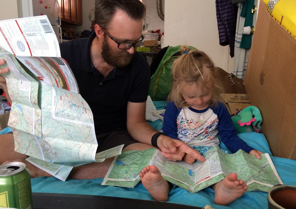
Disclaimer: M knows that the 4th or 5th fastest way to my heart is via a free and nifty-looking trucker hat. A while ago the folks at Cairn Cartographics asked me to take a look at their new Glacier/Waterton map before it went to print. In exchange they gave me a few free maps and a hat I like very much. I’ve purchased a number of their maps prior to this at full retail.

Cairn makes my favorite maps. They started back in 2010 with a full summer of ground truthing with a backpack-mounted GPS, which gave us the first modern, useable mid-scale maps of the Bob Marshall complex. I bought these as soon as they were available and have happily used them since; they’re still holding together after many rainy and snowy trips, and aside from the omission of a number of (illegal) outfitter spur trails I’ve never had any issues with their accuracy. In their years since they’ve been slowly adding to their range, producing maps which cover some of the more popular wilderness areas in Montana, generally as they did with the Bob providing the first middle ground between 1:100,000 forest service maps and 1:24,000 quads. The 1:64,000 to 1:80,000 scales which have become default in the last decade are very handy; they cover big areas with a single not enormous map, and provide a decent to good amount of detail if done correctly.
With their just released Glacier/Waterton map Cairn is for the first time directly competing with Nat Geo and other far larger players. As seen in our local shop the Cairn maps are a least a few dollars more. Why should you pay this premium?
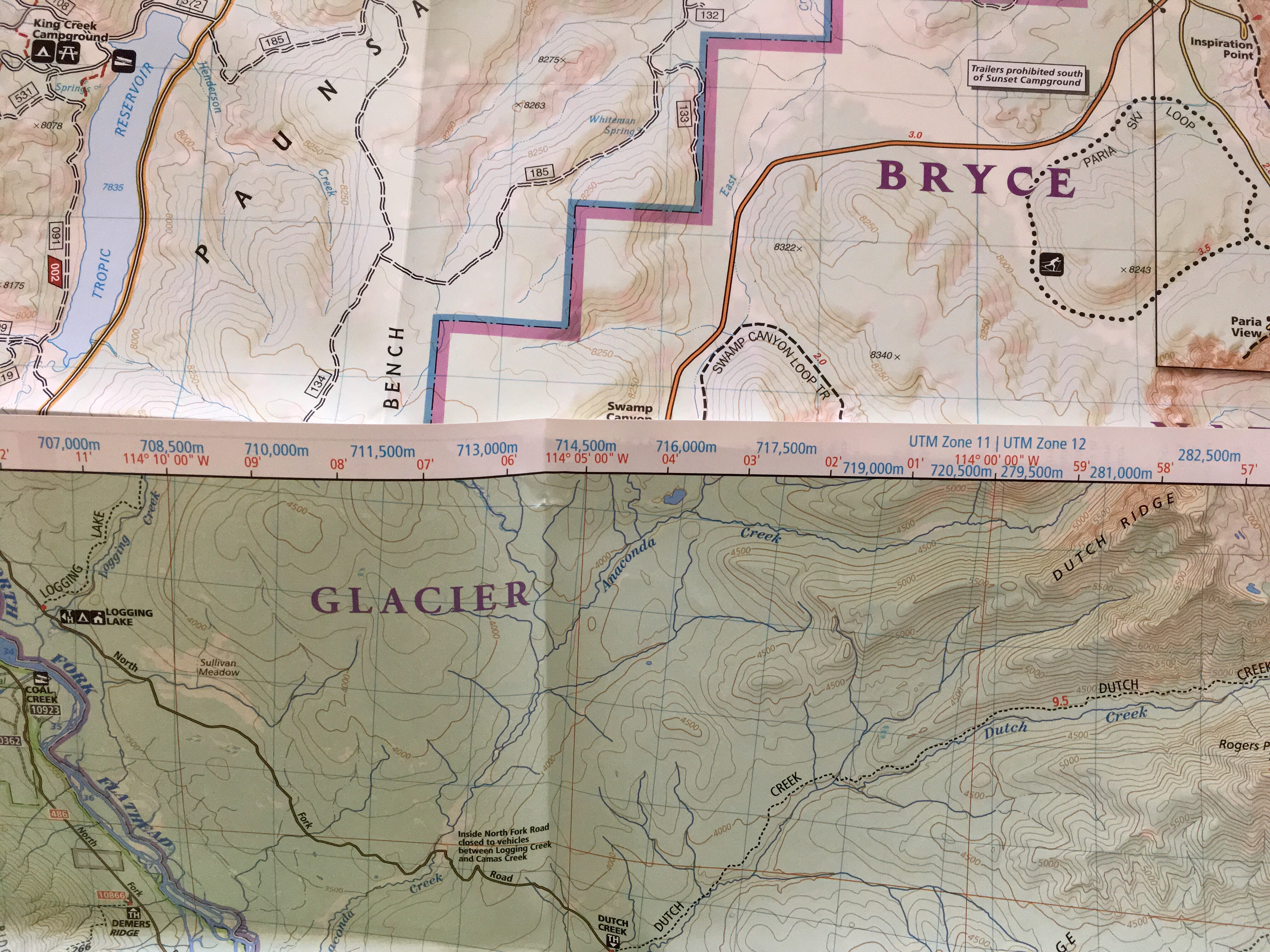
In addition to being made by the kind of folks you’d want to live and do business in your own small Montana city (an action which surely qualifies as a categorical imperative in a world increasingly marred by second homes and seasonal residents) the Cairn maps are more useable than Nat Geo. Any mid-scale map can get road, trail, and campground placement right (though I can testify that with Cairn the subtlety is a bit better, important when winter snows bury signs). The true test of use-ability is the small things like shading and how well the 100 foot contour lines are placed. It’s difficult to articulate to someone who hasn’t been there, but I know from this trip that the Cairn rendering of the trackless and gentle Anaconda Valley breathes better than anything else I’ve yet seen.
I’m a purposeful luddite when it comes to GPS, and prefer the mix of concrete certitude and mystery a bigger scale piece of paper provides. The enhanced resolution of the Cairn maps make them viable as the sole source of data, even for trips in more complex, off trail terrain. They are what I recommend, for the best all-around experience.

Leave a comment